
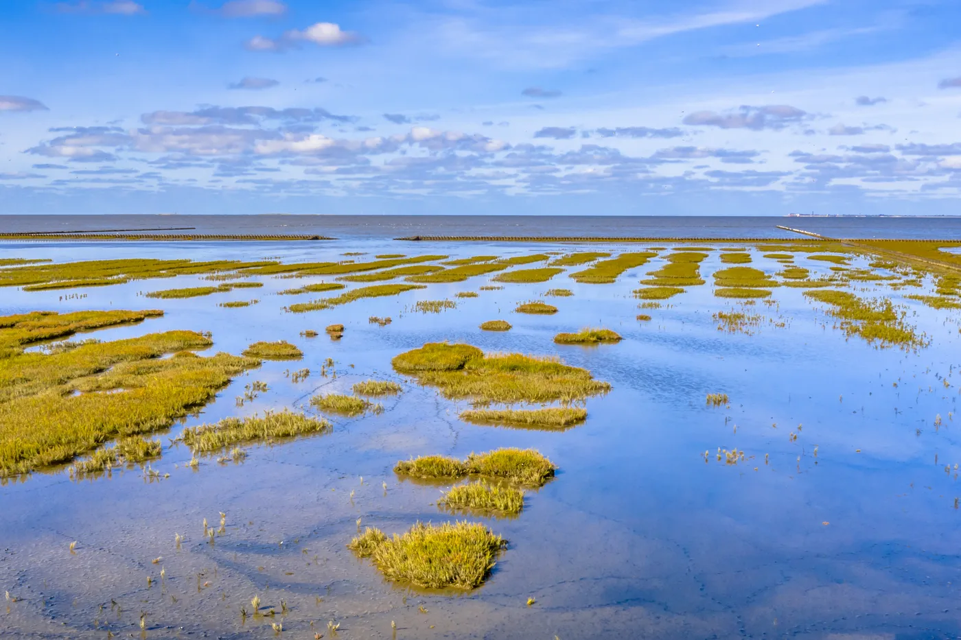
Walk any beach on Long Island and the water tells you where it has been. A dark line of wet sand above the waves, a ribbon of eelgrass and slipper shells stranded higher still, a second fainter ribbon above that. The beach is a ledger of the last twelve hours, written and rewritten twice a day. Most of us read it backwards, noticing only where the water was. A tide chart lets you read it forwards, and once you can do that, the shore stops being a place you visit and becomes a schedule you can keep.
Two heartbeats a day
On our coast the tide is semidiurnal: two high waters and two low waters in every lunar day. The lunar day is the catch, because it is not our day. The moon rises about fifty minutes later each evening, and the tides follow it, so high water arrives roughly fifty minutes later than it did yesterday, and the whole pattern walks slowly around the clock over the course of two weeks.
This is why the beach you loved at four in the afternoon last Saturday can be unrecognizable at four this Saturday. Nothing about the beach changed. The schedule did. It also means that any tide you like the look of will come back around to a convenient hour if you wait, which is one of the quiet reassurances of living by the water: the shore forgets nothing, it only postpones.
The moon pulls, the sun seasons
The moon does most of the work. Its gravity draws the ocean into two broad bulges, one facing it and one on the far side of the earth, and as the planet turns beneath them, the bulges sweep past us as high tides. The sun pulls too, at slightly less than half the moon's strength, and the interplay between them is what gives the month its rhythm.
When the moon is new or full, the sun and moon are pulling along the same line, and their tides stack. Highs run higher, lows run lower. These are spring tides, and the name has nothing to do with the season: it is the old sense of springing up, the water leaping. When the moon is at first or last quarter, sun and moon pull at right angles and partly cancel each other. The range shrinks, the highs are modest, the lows are shallow, and these are neap tides.
Here is the practical translation. Twice a month, around the new and the full moon, the sea pulls back farther than it does at any other time. The lowest tides of the month expose flats, bars and tide pools that spend the rest of the month underwater. If you only remember one thing from this piece, remember that: the days after a full or new moon are when the beach shows you what it usually hides.
One island, three different seas
Long Island is a good place to learn tides because it offers three entirely different ones within a short drive. The ocean beaches of the South Shore run a moderate range, a few feet between high and low. The Long Island Sound is another animal: the Sound narrows as it runs west, and the tide funnels into it, so the range grows toward the city and reaches roughly seven feet at the western end. A Sound beach at low tide can be twice the beach it was at high, with hundreds of feet of newly exposed flat.
Then there is the Great South Bay, sheltered behind the barrier beach, where the tide squeezes through a handful of inlets and arrives worn out. The range in much of the bay is around a foot. Same moon, same day, three different answers, depending on the shape of the basin the water has to fill. It is worth checking the chart for the specific beach you intend to stand on, because the chart for the wrong shore is nearly useless.
How to actually read the thing
A tide chart, whether printed at the bait shop or pulled up on a phone, gives you four numbers a day: the times of the two highs and the two lows, each with a height. The heights are measured from a reference line called mean lower low water, which is the average of the lower of each day's two low tides. A low of 0.2 means the water will drop about as far as it usually does. A negative number, and they do go negative around spring tides, means the sea will fall below its own average floor. Those are the days to circle.
The other thing worth knowing is that the water does not move at an even pace. It runs fastest in the middle hours between high and low and slows to a crawl near the turn. Around the moment of low tide there is a pause, an hour or so on either side when the sea more or less holds still. That window is the gift. You are not racing the water; you are strolling through its intermission.
So the practice is this. Look up the chart for a beach you know. Find the lowest daytime low in the next two weeks, which will sit near the new or full moon. Arrive an hour before it. You will have a comfortable two hours on ground that is usually sea.
What the low tide shows you
What you find out there depends on the shore. On the Sound flats: ribbed mussels in the peat banks, mud snails tracing their commuter lines, green crabs backed into pools, the cast coils of marine worms, oyster shells old enough to have been somebody's dinner a century ago. On the bay side: eelgrass meadows lying flat and glistening, hermit crabs auditioning new shells, the sudden jet of a buried clam announcing itself. On the ocean bars: sand dollars, whelk egg cases like paper accordions, and the particular pleasure of standing on a bar with water on both sides of you, briefly the owner of an island inside an island.
None of it is rare and none of it is hidden, exactly. It is just underwater twenty-eight days out of thirty, and the chart is the key that tells you which two days it is not.
A calendar older than yours
There is a deeper pleasure in this beyond the tide pools, and it is worth naming. Nearly every schedule you keep was made by people. The workweek, the school year, the holidays: all invented, all negotiable, all somebody's decision. The tide chart is a schedule nobody made. It was running before the island had a name and it will run after, and when you plan a Saturday around it, you are letting something older than every calendar on your wall set the terms for once.
People who live by the water often say the tides get into you, and what they mean is usually this simple: they know without checking that the water is out, the way you know what day of the week it is. That knowledge is available to anyone. It costs two weeks of glancing at a chart.
So find the chart for your nearest shore and look for the next new or full moon. Somewhere in the days around it there is a low tide with your name on it, an afternoon when the sea will step back and hold the door. It has already been scheduled. The only question is whether you will be there.



Loading comments…